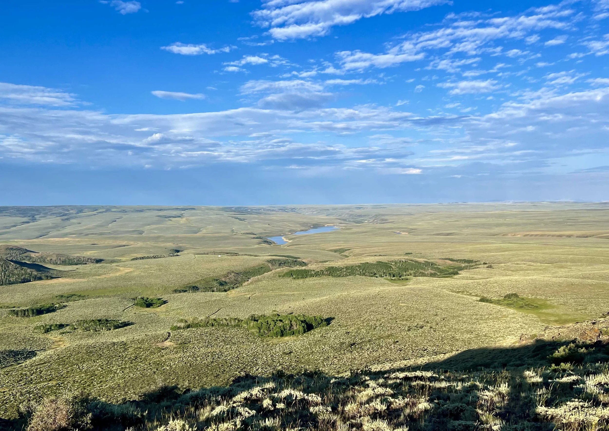
I did not get to meet the cows we heard last night (and this morning). Just as I thought I was getting close, the trail diverted away from where they were. Sad. Nick did get to see some deer, though.
Even though I didn’t get to meet the vociferous cows, it was an enjoyable hike. The trail turned this way and that, sometimes on a dirt road, sometimes not, which kept me on my toes. I am happy to report that even with all the crazy turnoffs, I did not get lost at all today.
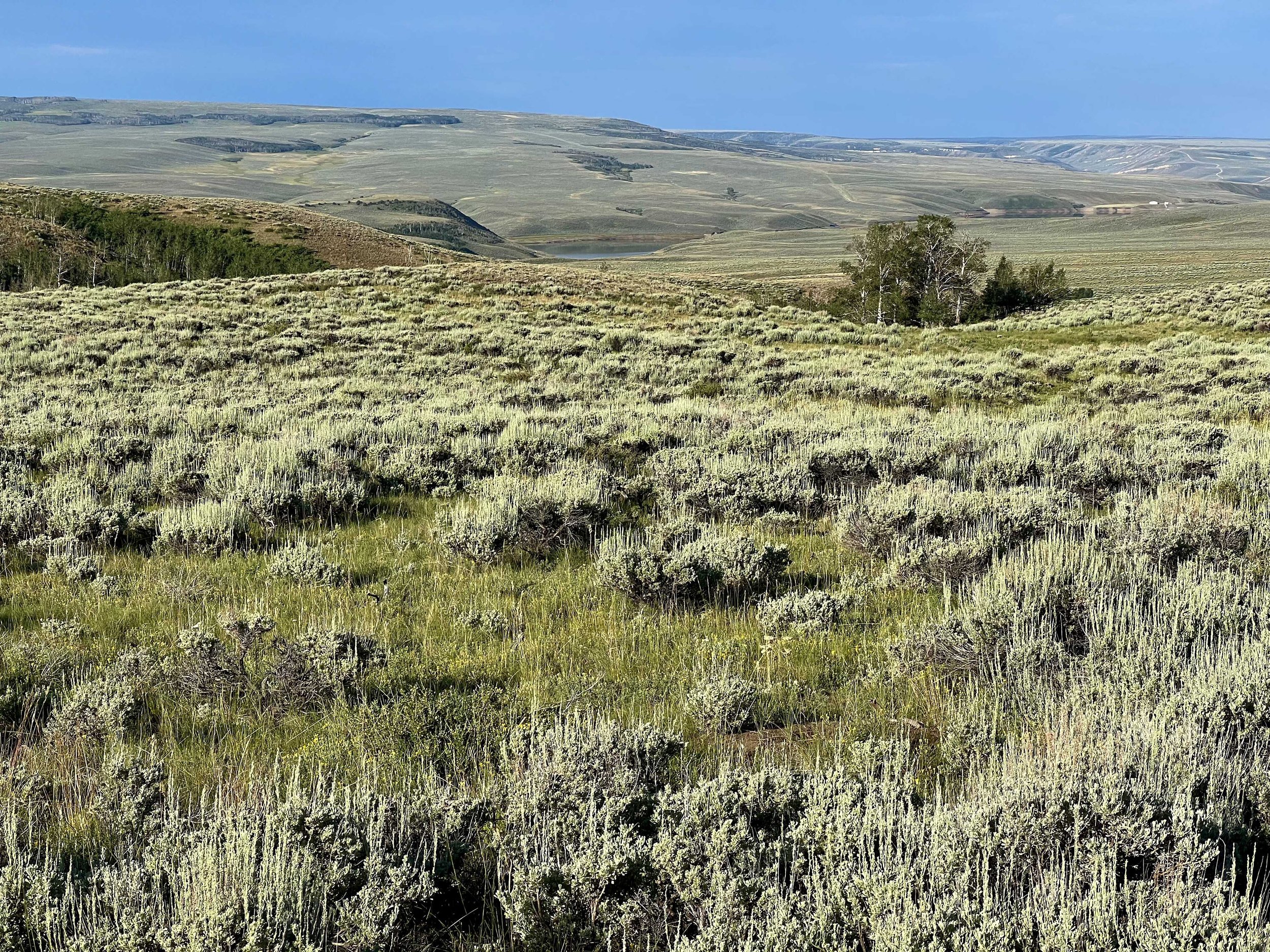
After leaving the timber, we walked up and over several hills covered in sagebrush, then hit a dirt road, and even walked on a paved road for a bit. If we wanted to, we could have stayed on the paved road (Sage Creek Road) for 40 miles all the way into Rawlins. The thought of walking on a paved road did not appeal to us whatsoever.
We only had to walk on the paved Sage Creek Road for about 2 miles. After that, we spent the rest of the day on various dirt and gravel country roads. While there wasn’t any shade to be had, The Wind stepped up and kept us pretty cool.
At the first water source 8 miles into the day, we met Hungry Cat, who was very concerned about the upcoming 30 mile water carry. He had talked with Info and had decided to rejoin Sage Creek Road, which would save about 15 miles. After talking with Hungry Cat, Nick and I were almost convinced that taking the road was the way to go. However, good water sources would still be a problem and, more importantly, I honestly didn’t think my issue would tolerate that much walking on a paved road. Still, cutting off 15 miles was tempting.
About 5 miles after getting water, I set my pack down and walked into the sagebrush to take care of business. When I returned to my pack, I was horrified to see she was covered, and I mean COVERED, in huge half red, half black ants. I was so horrified that I didn’t think to take a picture- my only thought was getting the ants off, which took me about 5 minutes to do. I brushed off as many as I could and then picked up my pack and walked a little further down the road, when I’d stop and brush off a little more. I repeated this process until I was pretty sure I got them all. By the way, those suckers BITE! It was like a mini-disaster, but I only got bitten twice while brushing them off. After I put my pack back on, I kept expecting a rogue ant to pop out and bite me as I made my way down the road. Happily, this did not happen.
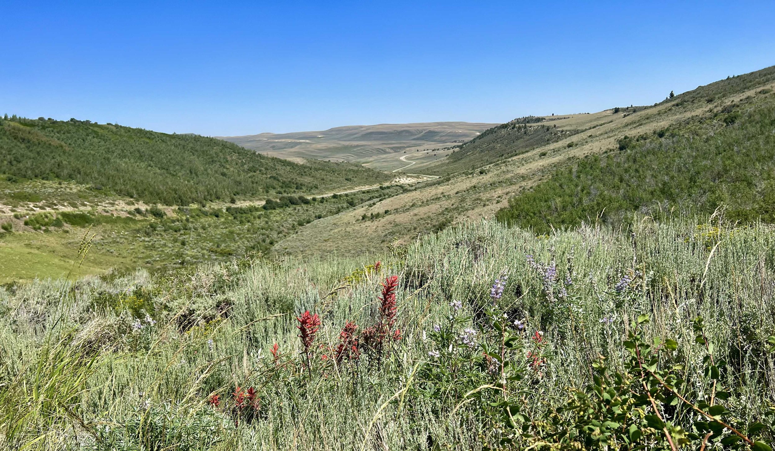
a scene from along the dirt road, near the ant incident
Our second water source was a piped spring 20 miles into the day, where we took a long break under a tree. There wasn’t a huge rush because we only had 3 miles to go until the last good water source for 28 miles, where we’d be camping. Well, technically it would have been 6 miles to go, but we took a shortcut on a double track road that saved us 3 miles of walking on a meandering dirt road. I was happy for the shortcut as my issue was starting to flare up again. Sigh. I’m not sure how tomorrow’s 28 miles is going to go, particularly since we’ll be carrying 5 liters of water each, but it will be an adventure I’m sure.
taking the shortcut to the last good water source for 28 miles
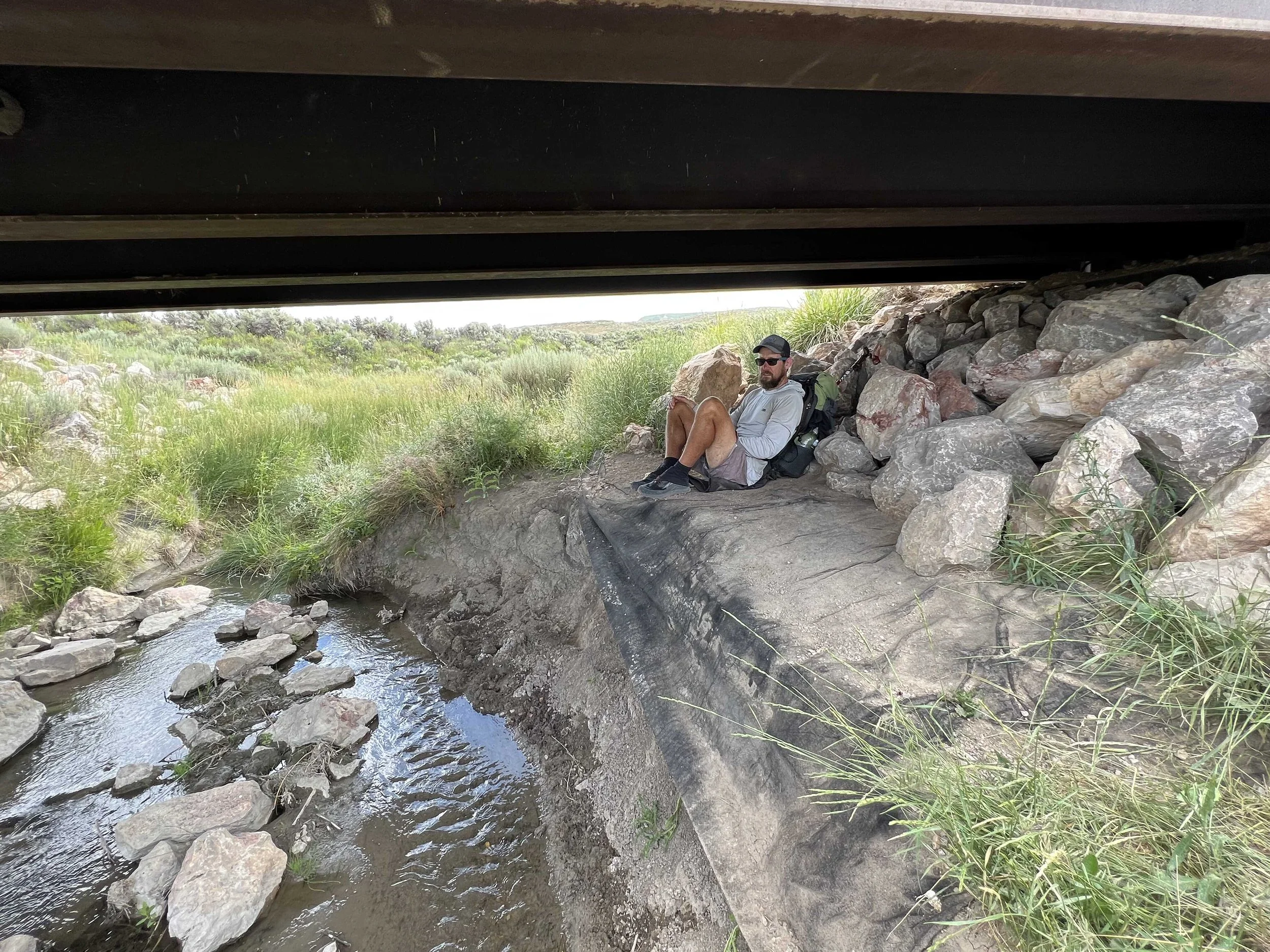
We hung out under the bridge at the last good water source (Muddy River) for a while, waiting for it to cool down before setting up the tent. It was relaxing down there under the bridge - I can see why so many trolls choose to live there. :)
Once again, we are camping near Spice, Cheetah, Captain, and Mouse. Because of the lack of water sources and how they are spaced out, I’m surprised there aren’t more hikers here - I figured everyone would have the same plan for this section. Unless, of course, they chose to do the road walk. I’m thinking that most everyone is doing the road walk.
Along the trail:
Camp:


